


A container can appear “in transit” in a carrier portal while your operations team still cannot answer the questions that matter: Has it left the terminal? Was it transferred to the correct yard? Did it stop at an unapproved location? Is the last update a real movement event or only a scheduled milestone? The blind spot grows whenever the container changes vessel, rail operator, chassis, tractor, depot, or custodian.
This guide explains how container GPS tracking creates an independent movement record for shipping containers across GCC and global intermodal routes. It covers the difference between tracking the container and tracking the truck or chassis, the handoff events worth capturing, realistic connectivity limits, device and mounting requirements, system integration, and how Tracom’s GPS device and data layer can support a controlled deployment without being presented as a freight management platform.
What does container GPS tracking follow?
The first decision is the identity of the asset being monitored. A container tracking device should remain associated with the container number or internal asset record even when the carrying equipment and operating party change.
Container tracking vs. truck, trailer, and chassis tracking
A truck tracker follows the powered vehicle. A trailer tracker follows the semi-trailer or reefer body. A chassis tracker follows the wheeled frame used for inland container movement. Container GPS tracking follows the shipping container itself, which may be lifted off one chassis, stacked in a terminal, loaded onto a vessel, transferred to rail, and later mounted on another chassis.
This distinction prevents a common data error: assuming that the position of the tractor or chassis always represents the position of the container. That assumption fails after decoupling, terminal transfer, container exchange, or an incorrect asset association.
What can a shipping container tracker record?
Depending on the selected hardware, configuration, connectivity, and compatible sensors, a shipping container tracker can provide:
- Current or last reported location with a timestamp.
- Movement and stationary events.
- Entry into or exit from ports, terminals, yards, warehouses, customer sites, and restricted zones.
- Unexpected movement outside an approved time or location.
- Route and event history during supported inland stages.
- Device-health, power, or reporting exceptions.
- Tracker tamper events when supported by the installation.
- Door or cargo-condition events only when compatible sensors are installed and validated.
The device does not independently prove that the container is loaded, empty, sealed, customs-cleared, released, undamaged, or delivered. Those statuses require shipment documents, gate transactions, scans, sensor evidence, or a confirmed operational workflow.
Read also: Trailer Tracker Guide for GCC and Global Fleet Operations
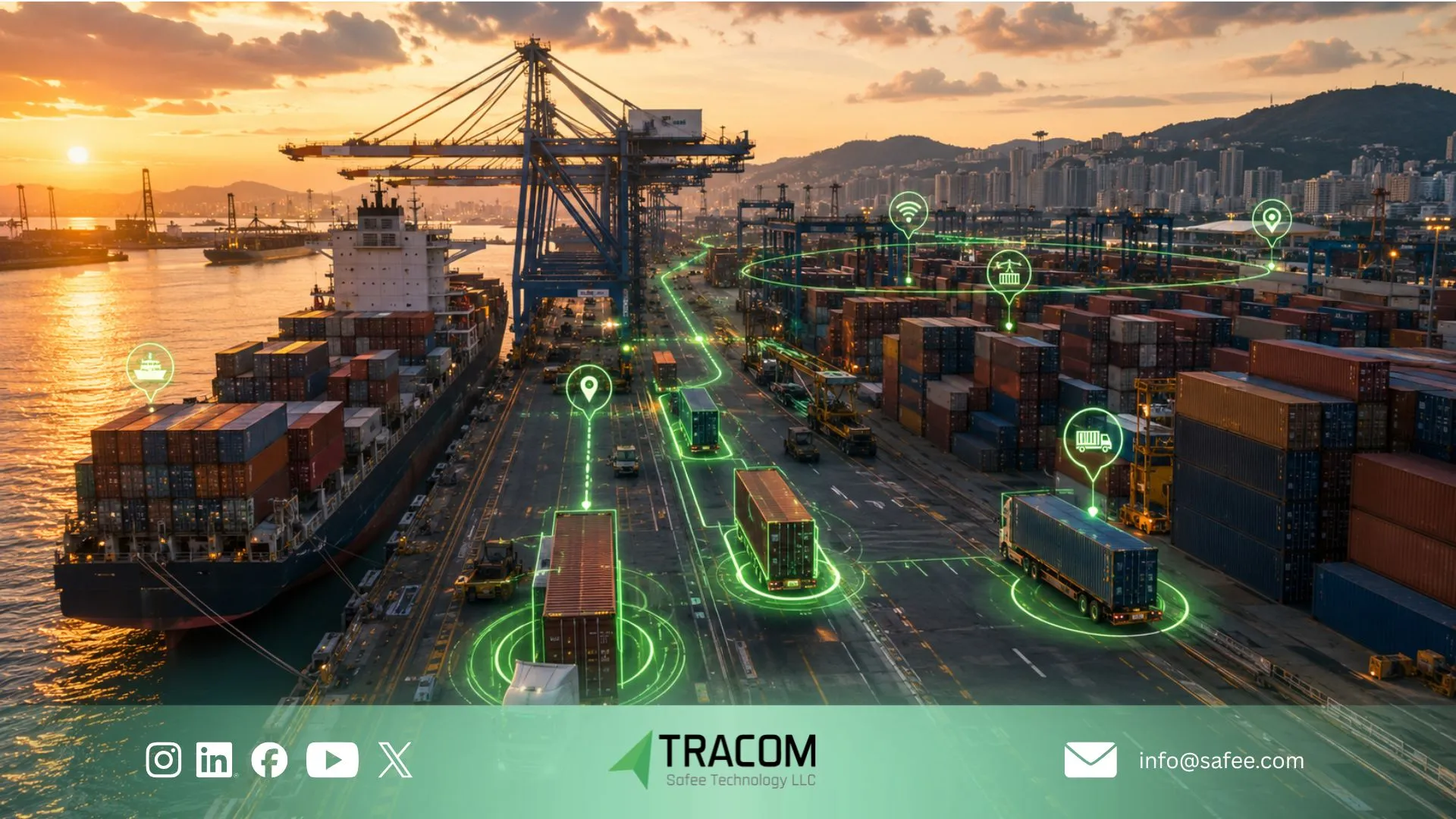
Container tracking across intermodal handoffs
The value of intermodal container tracking is not another map point. It is a consistent evidence trail across handoffs where carrier, terminal, rail, trucking, warehouse, and consignee records may not update at the same time.
Handoff Stage | Useful Device Evidence | Business Question |
Stuffing or origin warehouse | Container associated with the shipment; departure from origin | Was the correct container released, and when did inland movement begin? |
Port gate-in and terminal yard | Entry, movement, dwell, and last valid report | Did the container reach the expected terminal and remain within the approved area? |
Vessel loading and sea leg | Stored or transmitted records where technically supported | Is live offshore visibility required, or is delayed synchronization acceptable? |
Discharge port and terminal release | First post-discharge report, terminal exit, unexpected relocation | When did independent inland visibility resume? |
Rail or road transfer | Route progress, corridor exceptions, yard and terminal handoffs | Did the container follow the expected inland chain? |
Customer or distribution site | Arrival, departure, site duration, sensor events where configured | When did the physical container reach and leave the receiving location? |
Empty return or repositioning | Return-depot entry, unplanned movement, final tracked status | Was the container returned to the correct facility or repositioned elsewhere? |
Geofence milestones are not proof of completion
A port-entry event can support an arrival milestone, and a customer-site exit can support a departure timeline. The event remains location evidence; it should not automatically be treated as customs release, cargo handover, unloading completion, or proof of delivery.
For B2B operations, each geofence event should be mapped to the container number, shipment or booking reference, expected stage, responsible team, and required follow-up. That structure turns cargo container tracking data into controlled operational evidence instead of an isolated alert feed.
Review our GPS Tracking Use Cases for Fleet Operations
Container tracking limits at sea and in terminals
A credible deployment must define where live communication is expected and where it is not. Steel stacking, vessel structures, terminal equipment, indoor storage, and network coverage can affect both satellite reception and data transmission.
Why Cellular Tracking cannot guarantee offshore updates
A cellular container tracking device cannot be assumed to transmit continuously while the container is at sea, below deck, inside dense stacks, or outside network coverage. The device may record data locally and upload it later when connectivity returns. Continuous offshore reporting requires a separately validated satellite, vessel-gateway, or other communication design.
This means “port-to-door visibility” should be defined by stage. For some projects, the critical requirement is strong visibility before port entry and after discharge, with an auditable gap during the sea leg. For other cargo, offshore reporting may be a mandatory procurement requirement that must be confirmed before hardware selection.
Check data freshness with every location
The latest coordinate is useful only when the user can see its timestamp and reporting status. A container shown inside a terminal may have moved after its last successful transmission.
- Display the last report time next to the position.
- Separate live, delayed, stored, and missing-data conditions.
- Define when an outdated report becomes an exception.
- Do not treat network silence as automatic proof of theft or device failure.
- Reconcile delayed records after connectivity returns.
Design the container tracking device around the journey
A logistics container GPS specification should begin with the route, duty cycle, and required evidence. Applying a standard vehicle tracker or one reporting profile to every dry container, reefer, high-value shipment, and long-duration trade lane creates avoidable gaps.
Power and reporting profile
Many dry containers do not offer a stable power source. The project may therefore require a container-compatible battery, solar-assisted, reefer-powered, chassis-powered, or mixed design. The exact hardware must be confirmed rather than inferred from a vehicle-tracking specification.
Reporting frequency directly affects power consumption. A practical profile may report more often during inland movement or a high-risk handoff and less often during long stationary periods. Battery-life claims should be calculated against the actual interval, signal conditions, temperature, sensor load, and storage duration.
Mounting, signal, and tamper risks
The mounting position must protect the tracker from handling equipment, vibration, weather, washdowns, accidental impact, and unauthorized removal without enclosing it where steel blocks GNSS and cellular signals.
A hidden location may improve security but reduce communication performance. A visible external position may improve reception but increase tamper exposure. The installation should be tested on representative loaded, empty, stacked, reefer, and chassis-mounted containers before a standard is approved.
Match sensors to cargo requirements
GPS provides location and movement evidence. Door status, temperature, humidity, shock, or other cargo-condition data require compatible sensors, correct placement, defined sampling intervals, calibrated thresholds where applicable, and a response process.
A door event does not prove that cargo was removed, and one temperature reading does not prove product quality. Sensor data becomes useful when it is connected to the cargo requirement, shipment stage, responsible team, and investigation procedure.
Read also: GPS Fleet Tracking Devices in the GCC: Types, Specs, and Best Fit

Connect container tracking data to shipment records
The tracker produces field evidence. The transportation management system, freight platform, ERP, terminal system, or customer workflow holds the commercial shipment context. Integration must connect these layers without presenting the GPS device as the freight management system itself.
Use one controlled container identifier
Every device record should map to a verified container number or internal asset identifier. The project should also define how that identifier connects to booking, bill of lading, shipment, order, trip, customer, and empty-return records.
If the tracker is moved between containers, the reassignment must be recorded with an effective time. Otherwise, the device can report accurately while the organization attributes the movement to the wrong container.
Define the events and ownership before integration
- Which location, movement, geofence, tamper, door, temperature, and device-health fields are required?
- Which system owns the container master record?
- Which event may update a milestone, and which must remain an exception for review?
- How will delayed, duplicated, missing, and out-of-order records be handled?
- Who acknowledges security, dwell, route, sensor, and device-health exceptions?
- What API, message, export, or project-specific interface is available and validated?
At Tracom, we scope the GPS device, configurable event logic, data fields, remote management, and interfaces around the confirmed use case. Shipment status, customs workflow, appointment management, customer communication, and proof of delivery remain within the connected business process.
Container GPS tracking deployment checklist
Before procurement, operations, security, IT, and logistics teams should agree on the same deployment baseline. This prevents the project from becoming a hardware purchase without a usable container workflow.
Decision | What Must Be Confirmed |
Asset scope | Dry containers, reefers, leased containers, high-value shipments, or selected lanes |
Identity | Container number, device ID, shipment references, and reassignment control |
Handoff map | Origin, port, terminal, rail, road, customer, depot, and empty-return milestones |
Power model | Validated battery, solar, reefer, chassis, or mixed configuration |
Reporting rules | Moving, stationary, high-risk, and delayed-data intervals |
Connectivity | Cellular lanes, roaming, weak coverage, sea-leg expectations, and offline storage |
Mounting | Signal performance, security, weather, vibration, impact, and technician procedure |
Events | Movement, geofence, tamper, door, sensor, device-health, and stale-report logic |
Integration | Container master, shipment mapping, timestamps, APIs or exports, and reconciliation |
Ownership | Named response owner for each operational, security, sensor, and technical exception |
Pilot | Representative ports, stacks, yards, inland routes, borders, customers, and coverage gaps |
Use the checklist with Tracom to validate the device, power model, event logic, reporting profile, and data interface against real containers and shipping lanes. Discuss your deployment with Tracom
How does Tracom support container tracking?
Tracom sells advanced GPS tracking devices and the configuration and data capabilities around them. For container projects, our role is to provide the tracking layer that captures and communicates location, movement, geofence, tamper-event, sensor, and device-health evidence according to the selected hardware and confirmed configuration.
Device intelligence, data storage, and remote configuration
Tracom’s documented capabilities include multi-constellation positioning, cellular communication, configurable inputs and interfaces, advanced geofencing, tamper alerts, customizable firmware, and remote management through the SCMS portal.
Tracom also documents internal storage for up to a week of data during network interruption. For a container deployment, the exact storage behaviour, power profile, reporting interval, mounting method, compatible sensors, environmental protection, international connectivity, and sea-leg communication must be confirmed for the chosen device setup.
A device and data layer, not a freight management platform
We do not position a GPS tracker as a complete TMS, terminal operating system, customs platform, container-leasing application, or proof-of-delivery workflow. Tracom supplies the device evidence and configurable data layer; the customer’s systems and teams provide shipment context, custody status, commercial milestones, and operational closure.
This distinction gives buyers a more accurate project scope. It also makes integration, responsibilities, and success criteria easier to verify before the rollout reaches multiple ports, countries, carriers, and customer sites.
See our Remote Configuration Services

Build container visibility around real handoffs
Container GPS tracking is most useful when the tracking device follows the container identity, each handoff has a defined evidence requirement, and data freshness remains visible during coverage gaps. The project should not promise uninterrupted global visibility unless the power and communication design can support it.
For freight and logistics organizations across the GCC and worldwide, Tracom can help define the GPS device, event logic, reporting profile, geofence records, sensor inputs, remote configuration, and integration data needed for a controlled container tracking deployment.
Send Tracom your container types, target lanes, port and yard locations, security events, sensor needs, and integration requirements for a technically grounded recommendation. Contact Tracom
Read also: How Fleet Dispatch Software Uses GPS Data for GCC and Global Fleets
FAQs about container GPS tracking
What is container GPS tracking?
Container GPS tracking uses a device associated with a shipping container to record and transmit location, movement, geofence, and selected device or sensor events. It helps maintain visibility when the container changes truck, chassis, rail wagon, vessel, yard, or custodian.
How is a container tracking device different from a chassis tracker?
A container tracking device follows the shipping container. A chassis tracker follows the wheeled frame used to move containers inland. Tracking the chassis does not guarantee that the same container remains attached after a terminal or yard handoff.
Can a shipping container tracker report while the container is at sea?
Not automatically. A cellular shipping container tracker may lose communication offshore, below deck, or inside dense steel stacks. It can store records for later transmission when supported, while live sea-leg visibility requires a separately validated communication method.
Can cargo container tracking confirm that goods were delivered?
Location data can support an arrival and departure timeline, but it does not independently prove unloading, cargo condition, customs release, consignee acceptance, or proof of delivery. Those outcomes require additional workflow or sensor evidence.
Can container GPS tracking integrate with a TMS or freight platform?
Yes, when a validated interface is available. The integration should map the device and container identifiers to shipment references, define event meanings, and specify how delayed, duplicate, missing, and offline-stored records are handled.
How does Tracom scope a container tracking deployment?
Tracom provides advanced GPS devices, configurable event logic, data storage, interface, and remote-management capabilities. The exact container-compatible hardware, power source, mounting, environmental rating, sensor support, international connectivity, and offshore requirements must be confirmed for the project before procurement.