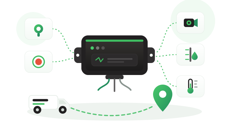

Many fleets already pay for geofencing fleet management and still run on phone calls. Every vehicle shows on a live map, yet managers call drivers to confirm arrivals, security teams discover unauthorized movement after the fact, and site rules are applied differently from one branch to another. The problem is not missing location data. It is the absence of dependable geographic rules that the tracking device itself applies whenever a vehicle enters, leaves, or drives inside a defined zone.
This article explains how geofencing works when the rules live inside the vehicle. It covers zone types, entry and exit events, time-based speed limits with driver voice alerts, managing up to 4,000 geofences through KML and KMLO files, and a rollout plan that avoids false alerts.
What geofencing adds to fleet tracking
Basic tracking answers where a vehicle is. Geofencing adds a rule to that answer: should this vehicle be inside or outside this place, should it be entering or leaving now, and how fast may it drive here?
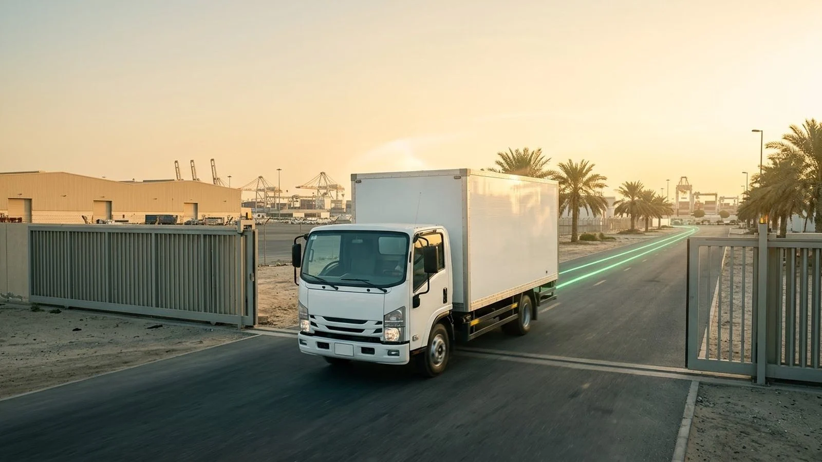
A geofence is a digital boundary around a real location, such as a depot, a customer warehouse, or a port gate. Each boundary carries a rule, and each rule produces an event when the vehicle meets its condition.
How the ST100 detects a zone event
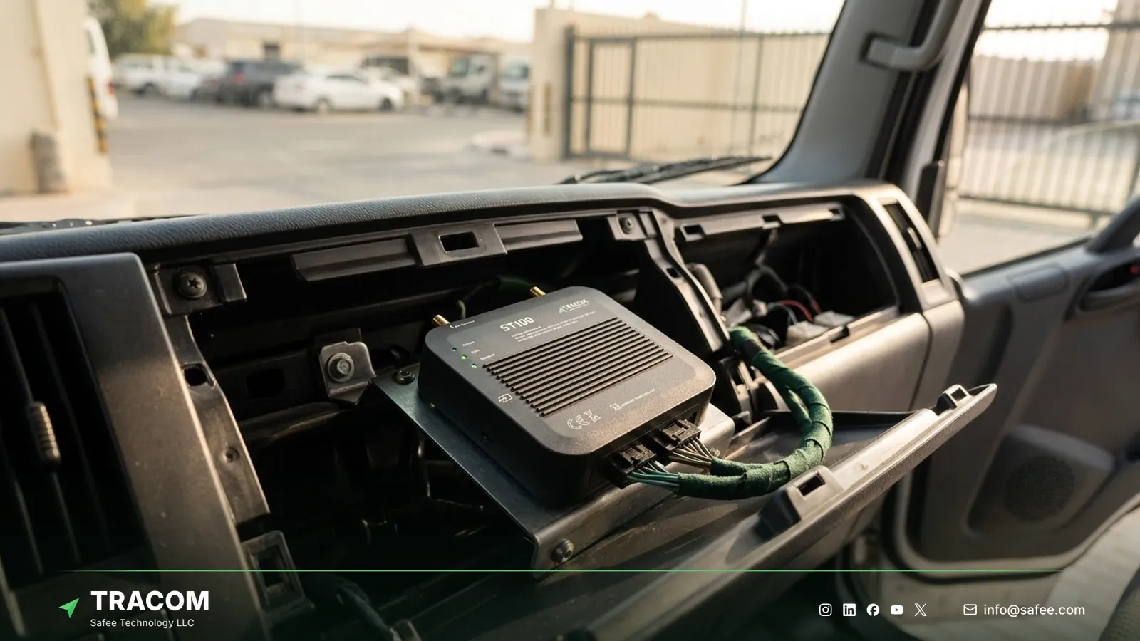
The Tracom ST100 stores zone boundaries and their rules on the device. It compares its GPS position with those boundaries and records an event when a condition is met, such as an entry, an exit, or a speed above the zone limit.
Each event identifies the vehicle, zone, time, position, and rule that fired. Because the ST100 records data second by second, the timeline shows when the vehicle crossed the boundary and how fast it was moving. The event then reaches the connected tracking platform for the map, reports, or other systems.
What a geofence event does not decide
A geofence event does not automatically determine whether a job is complete, whether a driver violated policy, who caused a delay, or which department must close the case. Tracom supplies the GPS device, local rule logic, event data, and configuration layer. The fleet or its connected business software assigns the operational meaning and response.
This matters once zone events feed dispatch, ERP, or customer service. A customer-site entry can support an arrival update, but it is not proof of delivery unless the wider workflow confirms it. Job creation, driver assignment, and case closure remain functions of the connected software.
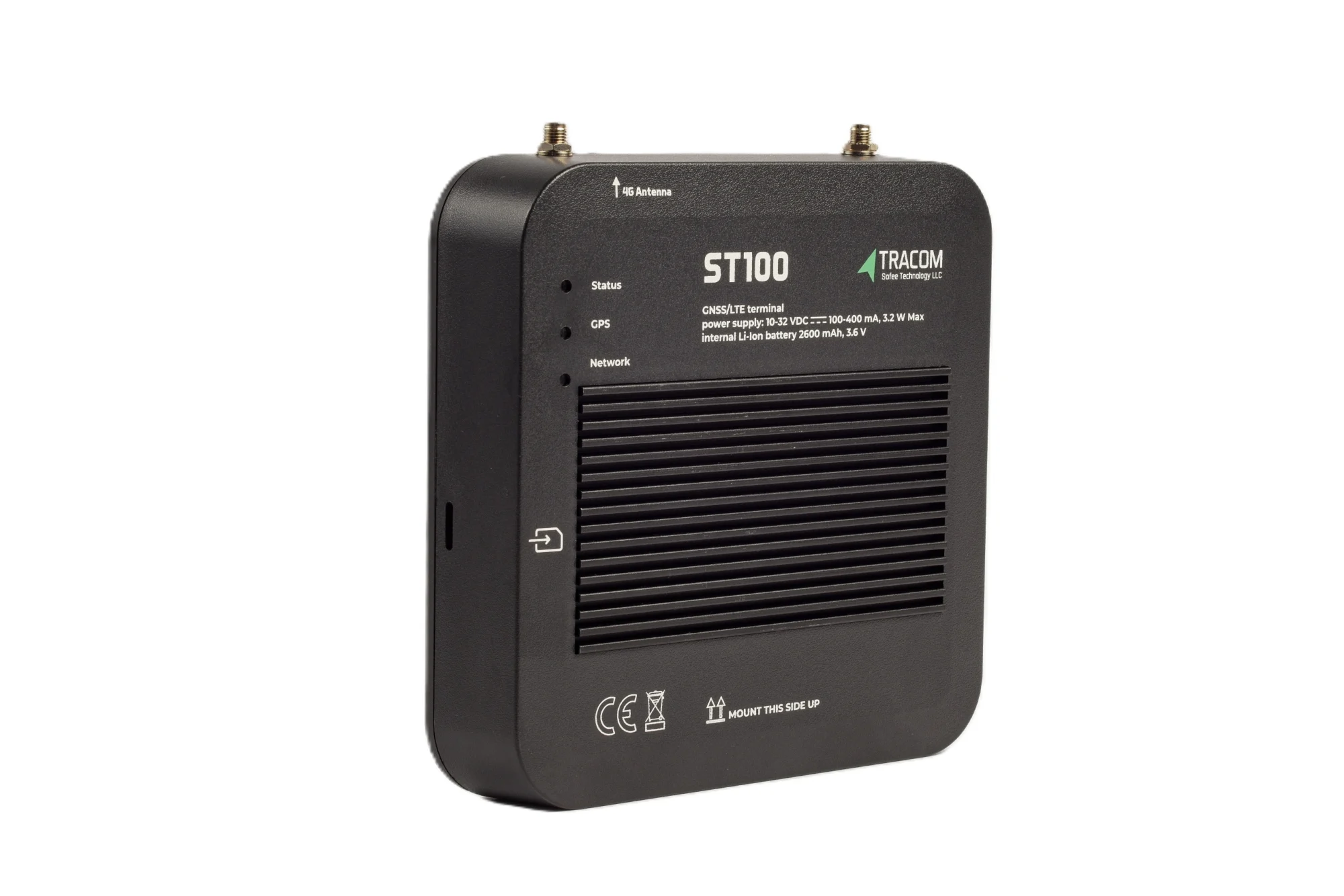
The tracking device behind every record
- GPS, GLONASS, SBAS, QZSS and AGPS positioning
- Location accuracy within a 2-meter radius
- 2G/3G/4G SIM support
- 12 digital, 4 analog and 5 AD inputs, 2 digital outputs
- 5 RS232 ports, USB, UART, 1-Wire and OBD II CAN
Choosing the right geofence type
Good geofencing begins with the question each zone must answer. The right boundary is the simplest one that reflects that decision without capturing unrelated roads, neighboring properties, or public access points.
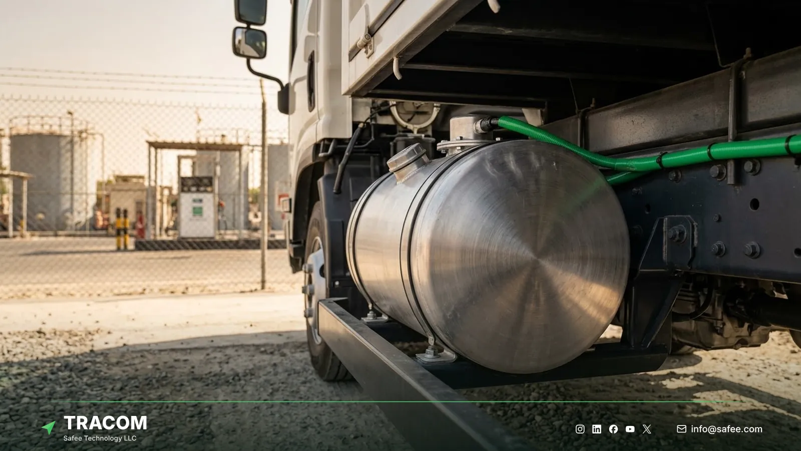
Site zones for arrivals and departures
Site zones cover depots, yards, warehouses, and customer locations. They timestamp arrivals and departures, so dispatch stops calling drivers to ask. These zones generate the most events, so their notifications usually belong in a report, not on a phone.
Restricted and security zones
Restricted zones protect fuel storage areas, hazardous sections of a plant, or approved overnight parking. Here the exit or entry itself is the exception, so the event deserves a named recipient and a defined response. A truck leaving its approved parking area at 2 a.m. should reach the security supervisor within minutes. Around fuel storage, pairing a zone with a fuel level sensor on the ST100 supports fuel theft detection by tying a sudden level drop to a place.
Speed zones inside sites and corridors
Speed zones attach a lower limit to a place, such as a loading yard, a camp road, or a construction access road. On the ST100, these limits can also change by time, so a yard can allow normal speed at night and enforce a stricter limit during shift changes when people are on foot.
Drawing the boundary
Draw each boundary around the area where the work happens, with realistic tolerance at gates and loading bays. Keep the edge away from busy public roads, because a boundary that hugs a highway records entries from vehicles that never visited the site.
| Zone Type | Best Fit | Main Risk | Design Rule |
|---|---|---|---|
| Site zone | Depots, yards, customer sites | Capturing nearby roads | Center the boundary on the gates |
| Restricted zone | Fuel areas, parking, hazard areas | Alerts nobody owns | Name one recipient per zone |
| Speed zone | Yards, camps, site access roads | Limit set without policy | Match the written site rule |
| Route zone | Approved corridors and highways | Too wide to mean anything | Keep the corridor narrow |
Read also: Fleet Fuel Management: The Tracker and Fuel Sensors Behind It
High-value geofencing use cases for GCC and global fleets
The strongest use cases connect one boundary event to one decision. GCC fleets move through ports, free zones, industrial cities, and desert corridors, and each of these places raises its own question.
- Depots and yards use exit events to confirm vehicle release, and the connected tracking platform can flag departures outside working hours.
- Customer sites and warehouses use entry and exit timestamps to support arrival updates and site-duration reviews.
- Ports and terminals use zone transitions to build a consistent timeline of waiting and handover, which matters for container GPS tracking across intermodal moves.
- Construction and industrial sites combine entry rules with zone speed limits to reinforce site safety rules at the point of driving.
- Transport fleets set zones around approved routes, and the ST100 can remind drivers with a voice alert when they leave the assigned route.
- Multi-branch fleets apply the same zone categories and rules to every branch, so a depot in Dammam and a depot in Jebel Ali follow one standard.
Dwell time needs care. Entry and exit timestamps let the connected tracking platform calculate how long a vehicle stayed, but only appointment times and gate records explain why.
In-vehicle geofence rules and alerts
Geofence alerts become useful when the rule, its priority, and the expected response are defined before deployment. Alerts without ownership become noise.
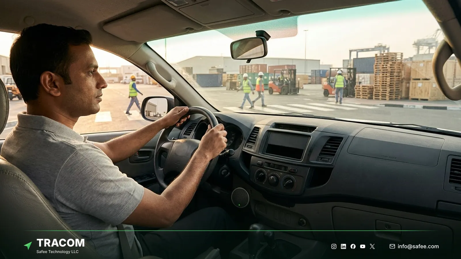
Entry and exit events
The ST100 issues real-time notifications when vehicles enter or exit zones, and it can also trigger on unauthorized activity around sensitive areas. Decide for each zone whether the event goes to a person, to a report, or only to the trip history. Routine arrivals rarely need a push notification, while an exit from a secured yard usually does.
Time-based speed limits inside zones
The ST100 supports time-based speed limits, so the same zone can carry a different speed rule by period. Each threshold should match the fleet’s written policy and be tested on representative vehicles before a wide rollout.
Grace periods and driver voice alerts
The ST100 supports grace periods on zone speed rules and can activate voice alerts during grace periods. Their settings should follow the same written policy as the speed limits themselves. The guide to in-cab voice alerts explains how to word and test them. Live monitoring of these alerts is covered in the guide to live fleet tracking and real-time alerts.
The voice alert supports correction and coaching, and it does not replace management review. Handling repeat cases belongs to the fleet’s safety alert management process.
Rules that keep working without coverage
The ST100 is an in-vehicle intelligence system, not a passive location transmitter. It applies its configured rules without an internet connection, so zone detection and the driver voice alert do not wait for the cellular network. When the network drops, the device stores up to one week of data internally.
Everything outside the vehicle still needs the cellular link: manager notifications, map updates, and triggers to other systems. This matters on desert routes, at remote oil and gas sites, and in basements, as the article on offline GPS fleet tracking explains.
Managing up to 4,000 geofences
The ST100 supports up to 4,000 customizable geofences. Capacity is not control, though. A fleet can load thousands of zones and still fail if names are unclear, files are outdated, duplicate boundaries stay active, or the wrong vehicle groups receive the wrong rules.

A naming scheme before the first upload
Every zone needs a unique code, a category, a responsible person, a vehicle group, a speed rule, and a review date. Names such as “Zone 1” or “Customer Site” become useless after a few hundred zones. A structured code such as KSA-RUH-DEPOT-EXIT-EAST or UAE-DXB-CUSTOMER-LOADING-02 tells operations and technical teams the country, city, location type, function, and access point without opening the map.
KML and KMLO files through SCMS
Zones for the ST100 are managed as files in the SCMS portal. Teams prepare geofences as KML files, merge them with custom speed categories, and synchronize the result as KMLO data across the selected devices. One approved file then reaches every branch instead of being rebuilt on each vehicle. File preparation and upload checks are covered in the guide to KML geofence files.
An XML configuration file adds hundreds of customizable events, with default parameters or detailed behavior per event. Review the SCMS, geofencing file, OTA, and SMS configuration services before planning the file structure.
Device groups, OTA updates, and SMS commands
SCMS pushes updates to any device group, immediately or on a schedule, and devices synchronize with SCMS daily. Because firmware and configuration travel over the air, a new depot does not need a workshop visit. The guide to remote fleet tracker management and OTA updates covers this workflow in depth.
Without portal access, selected parameters can be adjusted through SMS commands. Keep that channel for urgent field changes and log them like portal updates.
Version control and retiring zones
Customers move, projects close, and depot gates change. Each change should update or retire the related zone, because obsolete boundaries create false events.
- Record the file version, approval date, and approver.
- Document which device groups received each file.
- Keep a short reason for every change.
- Retire duplicate, expired, and low-value zones in a quarterly review.
Read also: Driver Behavior Monitoring: Events, Voice Alerts and Scoring
How to roll out geofencing across the fleet
A staged rollout is more reliable than uploading hundreds of zones at once. Each stage confirms the decision, the boundary, the device behavior, and the alert recipient.
- List the decisions that need a zone, such as depot release, customer arrival, after-hours movement, and site speed control.
- Create a location register and classify each zone as site, restricted, speed, or route.
- Draw the simplest suitable boundary and leave realistic tolerance around gates and loading areas.
- Assign each rule to the right vehicle groups, time periods, and speed categories.
- Define the output of every event: a driver voice alert, a manager notification, a report entry, or an input to another system.
- Run a field pilot across urban, highway, industrial, and weak-coverage conditions with representative vehicles.
- Review missed events, boundary bounce, duplicate alerts, and notifications nobody acted on.
- Approve the final KML and KMLO files, XML event settings, and alert recipients before fleet-wide distribution.
Before you scale, have the zone list and speed categories checked against your real routes. Talk to a Tracom specialist to review your geofence plan.
Common geofence configuration failures
Many geofencing problems come from boundaries, rules, and responsibilities that were never designed for real operating conditions.
| Failure | Operational Consequence |
|---|---|
| Drawing zones without a decision | The zone becomes map clutter that nobody reviews |
| Boundary too close to a public road | Passing traffic creates false entries and exits |
| Every event sent to every manager | Real exceptions get lost and alerts are ignored |
| Treating an entry as job completion | Location data is read as proof of delivery |
| Wrong device group assignment | A correct zone produces the wrong result |
| Skipping the field pilot | Gate, canopy, and coverage issues appear after rollout |
| Keeping obsolete zones active | History and exception reviews become unreliable |
What hardware goes in the vehicle for geofencing
Geofencing on Tracom is a hardware decision first. The zones, speed rules, and voice alerts live on the Tracom ST100 installed in each vehicle, while maps and reports come from the connected tracking platform, which can be the fleet’s own or a partner’s platform.
| Need | ST100 feature, input, or accessory | Confirm with the Tracom team |
|---|---|---|
| Zone entry, exit, and speed rules | Up to 4,000 geofences with time-based speed limits | Zone design and file structure |
| Driver correction at the zone edge | Voice alerts during grace periods | Alert wording per zone |
| Only authorized drivers leave a yard | Driver key reader with up to 1,000 access keys | Reader type and immobilization wiring |
| Fuel area or theft exceptions | Fuel level sensor on the ST100 | Sensor type and tank fit |
| Rules in weak coverage | Local rules and up to one week of onboard storage | Upload behavior on your network |
The ST100 also works with third-party tracking platforms through a documented protocol that we share with partners. Supported boundary shapes, point counts per zone, and platform integration should be confirmed during solution design. Compare the full list of Tracom features, then request a device recommendation for your fleet or your customers’ fleets.
Turn fleet location into controlled zone events
Geofencing fleet management is most valuable when each boundary represents a real operating decision. A dependable setup combines practical zone design, rules applied inside the vehicle, alerts with named recipients, clear device-group assignment, and versioned KML and KMLO files.
For fleets, telematics service providers, and installers across the GCC and worldwide, Tracom supplies the ST100, the accessories around it, and the configuration tools that move a fleet beyond passive map tracking. What remains is designing zones, speed rules, and event outputs around your actual sites and vehicle groups.
Share your site list, vehicle groups, zone priorities, and platform requirements with Tracom to receive a practical ST100 geofencing deployment recommendation. Talk to a Tracom specialist about devices for your fleet or your customers.
Frequently asked questions about geofencing
What is geofencing fleet management?
Geofencing fleet management is the use of digital boundaries around real locations to detect when vehicles enter, leave, or drive inside defined areas. Each boundary carries a rule, such as an entry notification or a speed limit, and each rule produces an event that supports security, site visibility, and safety reviews.
How many geofences does the Tracom ST100 support?
Up to 4,000. The ST100 supports up to 4,000 customizable geofences, managed as KML and KMLO files through the SCMS portal. That capacity lets a multi-branch fleet cover depots, customer sites, restricted areas, and speed zones, provided each zone follows a clear naming and review process.
Do geofence alerts still work without mobile coverage?
Yes, inside the vehicle. The ST100 applies its rules without an internet connection, so zone detection and driver voice alerts continue when the network drops, and the device stores up to one week of data. Manager notifications and platform updates still need the network to arrive.
Can a speed limit change inside a specific zone?
Yes. The ST100 supports time-based speed limits, and geofence files can be merged with custom speed categories, so a yard or site road can carry its own limit for each period. The ST100 can also activate voice alerts during grace periods, configured with the rest of the zone rules.
Does Tracom decide what a geofence event means?
No. A geofence entry alone does not prove that a job is complete or that a driver broke policy. Tracom supplies the device, the in-vehicle rules, the event data, and the configuration tools. Your team or your connected business software decides what each event means and how to respond to it.
Choose the right tracker for every vehicle
Tell us your vehicle types and what you need to monitor. A Tracom device specialist will reply by email with a recommended ST100 setup and accessories.
Usually replies within one business day • No sales spam
Your details are used only to respond to your request. Privacy Policy